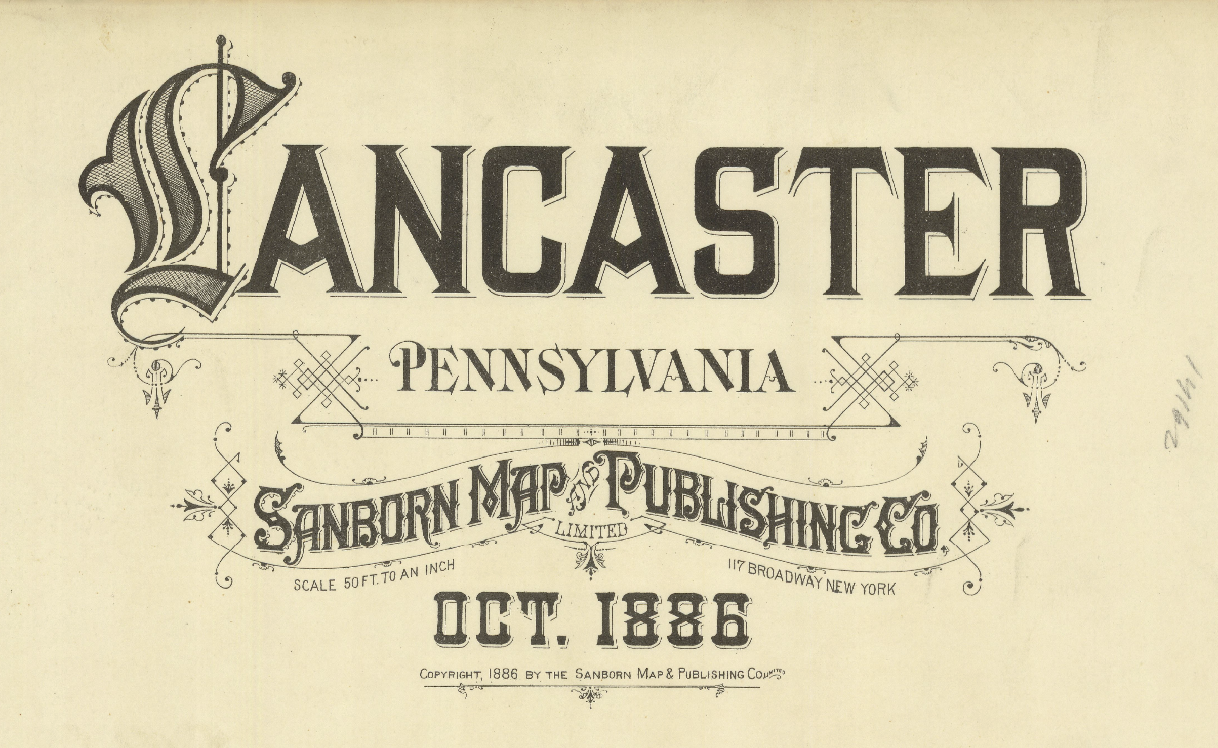
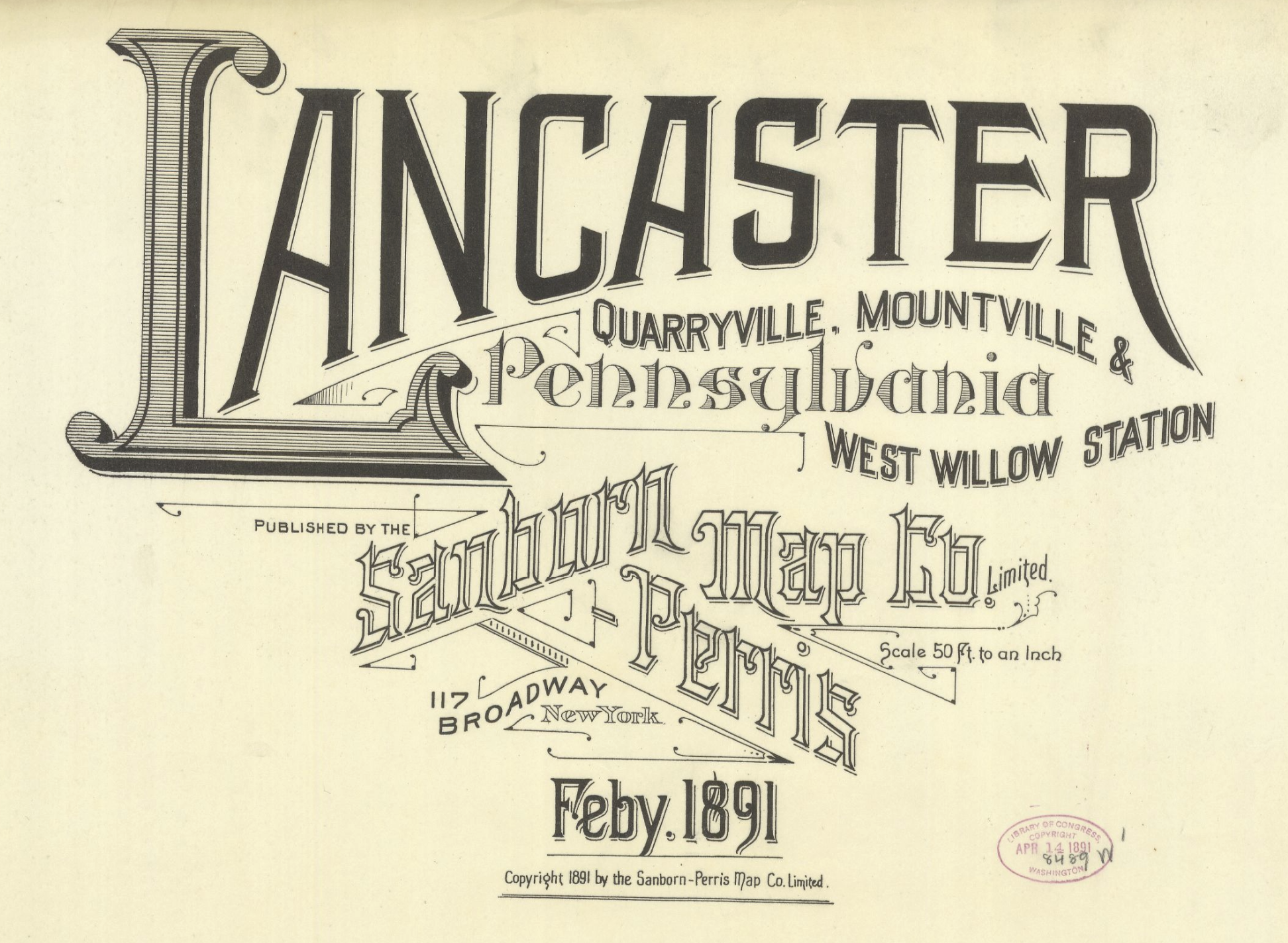
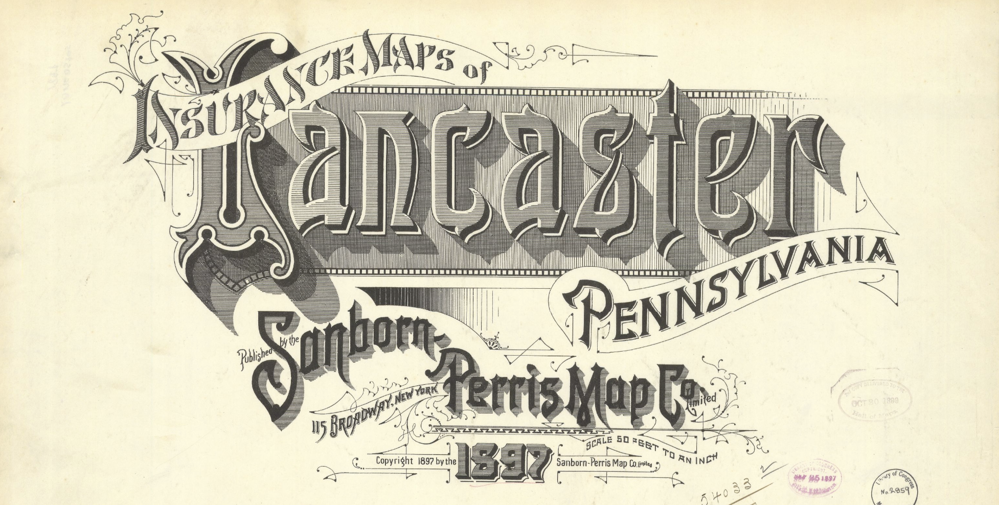
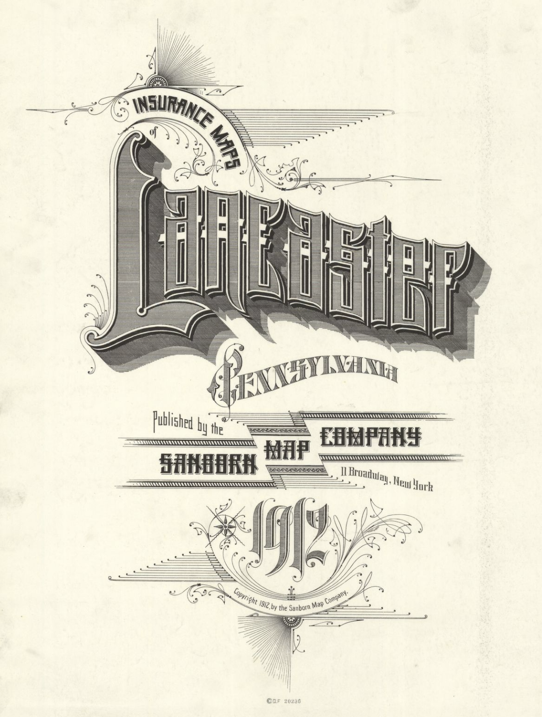
Sanborn Maps: Lancaster
When I interned at Moxie Sozo, the folks over there turned me on to Sanborn Fire Insurance Maps. If you don’t know about Sanborn Maps, they had the monopoly on maps used by fire insurance companies between the 1860s through the 1970s. You can find them openly available online these days; The Penn State Library and the Library of Congress are two resources I like using. While they’re a cool way to look at how old towns and cities were laid out (the color-coding and information organization is worth studying in itself), I like looking at the lithographed title pages.
Below I’ve collected some title lockups for one town, so you can see the typographic verve and development across time. Over one hundred years later, the layouts feel absolutely wackadoodle to my grid-trained eye, and I love it. Would you have ever thought the words “Insurance Maps” could be set with such flair?